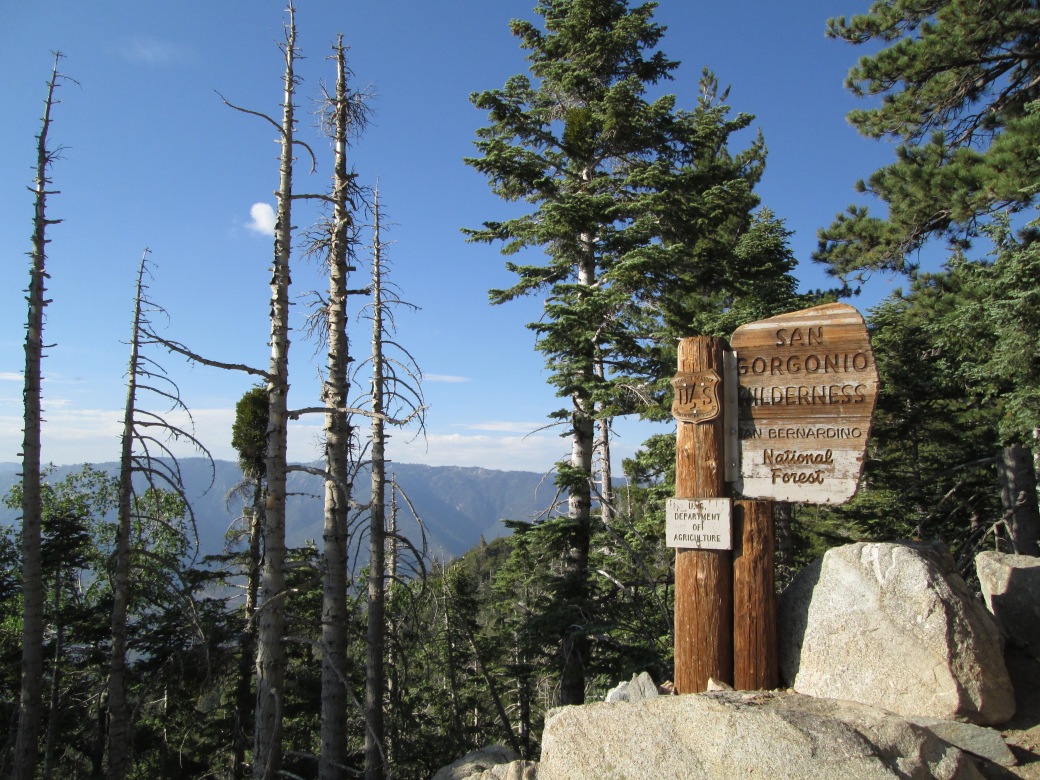
I am fortunate to have hiked, backpacked, conducted research, and explored so much of the mountains and protected forest around Los Angeles for the past 4 years. More dry-adapted than other places I’ve lived, there is a strange tenuousness to the landscape here, particularly in the San Bernardino National Forest. I never seem able to take a nice landscape photo, without dry, dead trunks jutting into the frame, like so many bones:
Last summer, a NYT article finally said what I couldn’t quite articulate: “For those who know fire, fuel is now all they see.”
Was it always this way? This is a big-picture question for much of my research. We know wildfire plays an important role in California landscapes — both for its inherent health, and at times of landscape change.
Charcoal counting is one approach for building a wildfire history for a locality, and perhaps the broader region. If conditions are right, charcoal will runoff into lakes, and accumulate over time. The MacDonald Lab is currently processing charcoal from about 4 different sites and projects, including ocean and lake cores, and marshes. I have been supervising charcoal digestion, counting and data synthesis on two cores from Big Bear Valley that span the last 100,000 years.
Digesting core material for charcoal analysis usually involves a sample for every centimeter of core, and a sample volume of 1 or 2 cm3. We used the protocol from the Limnological Research Center on Big Bear Lake, which had a record dating from 10,000 years ago until ~300 years BP. The history was fairly dynamic, and comprised a students’ course project over two quarters.
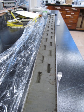
However, Baldwin Lake’s record is long, at ~27 m; faced with the prospect of ~2700 samples (!), we needed a more efficient way to process material. I adopted this technique: careful, continuous 1 x 4 cm slices, cut out at an angle to get ~2 cm3. Most of the Baldwin material is comprised of organic silts — very conducive to careful slicing:
Nearly a dozen students, in total, helped with the laboratory prep of the samples. Two students earned research credits for counting Big Bear Lake, and another counted Baldwin Lake during Marine Isotope Stage 3 (about 57,000 – 27,000 ago). I set aside a weekend+ to power through the remaining counts – about 11 m of material – which was doable based on our prior knowledge of the site. I expected low counts. In fact, my go-to talking point about this site has been largely about charcoals absence — what did that mean for wildfire occurrence? Can a dry-adapted forest go for thousands of years without wildfire?
Twitter is a good complement to those solitary hours at the microscope. In fact, I seem to get biggest and most enthusiastic response to my iPhone ‘scope tweets:
I didn’t just get charcoal counts — going through the ~11-12 m of uncounted core, in sequence, was a useful exercise. It was a nice “tour” through the core I’ve spent so much time upon. I saw changes in mineralogy. Hornblende fragments were common, which can look deceptively like woody charcoal: shiny, black, dark, and blade-like. We have pXRF data that includes calcium, and I could definitely tell when I hit the areas that peak for Ca:
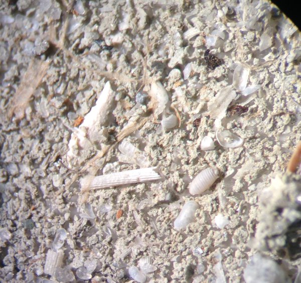
I’d observed these spiral-shaped objects before, and finally IDed them. They are derived from Chara, or muskgrass…an aquatic plant that likes hard water. Chara often has calcified “rinds” around the seeds and stems. Charles Lyell described, illustrated, and discussed their importance to the geologic record in Principles of Geology.
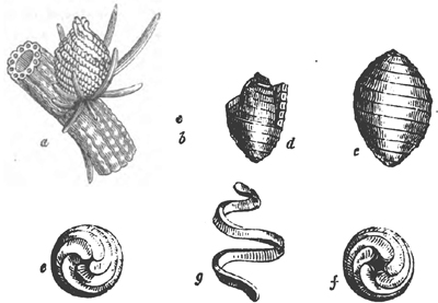
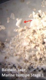
“Gyrogonite, or petrified seed-vessel of Chara bispida.” Lyell (1835).
I also count/estimate charcoal fragments on pollen slides, which we interpret as the finer, wind-blown charcoal that traveled, airborne, to the San Bernardinos. That task is much slower going, but I still see “forms most beautiful” (and weird, and gnarly) on occasion.


Microcharcoal fragments at 400x magnification
We’ve now got a much more interesting — albeit nuanced — story about charcoal occurrence in the San Bernardinos, and the climatic conditions that likely promoted fire on the landscape. We have phases of quiescence, but also see fire rather reliably as a result of shifting paleoclimate. I’ll be talking about the first round of results at the American Association of Geographers annual meeting this coming week.
